 MERTON HISTORICAL SOCIETY
Research Notes
March 11, 2024
The Society has inherited from former members various files containing their research notes. Although some of these have been published as standalone booklets or articles in our Bulletins, many contain incomplete and unpublished research material, or additional material to update published works.
Bill Rudd Archive
March 12, 2024
Bulletin 229
March 6, 2024
About the Society: Test layout
March 5, 2024
Anglo-Saxon sites in Merton (test page)
January 3, 2024
Bulletin 228
December 13, 2023
 Download Bulletin 228[/caption]
Bulletin 227
September 29, 2023
Medieval Morden: Neighbourhood and Community
September 20, 2023
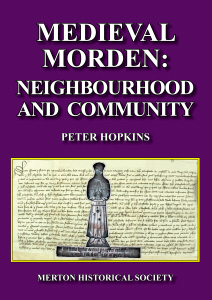 This study focuses on social interaction and community dynamics, in the light of the demands made of Morden’s inhabitants by the State, by the Church and in particular by Westminster Abbey as manorial lord, but also by the local community and the family. Most of the information comes from manorial court rolls, and the role and processes of the manor court are examined at the outset. Other chapters consider differences in status and in wealth, the role of credit, the evidence for conflict and cooperation and for the exercise of power and influence by local people. From brewers and bakers to priests and parishioners, this book explores the strengths and the tensions that worked together to form and to challenge a sense of neighbourhood and community in Morden especially in the centuries following the Black Death.
This volume also includes a substantial biographical register of over 1000 individuals who appear in the surviving records and who played their part in creating medieval Morden’s communal life.
Medieval Morden: Neighbourhood and Community
September 20, 2023
Morden is now a suburb within the London Borough of Merton, its only claim to fame being as a terminus of London Underground’s Northern Line. However, only a century ago it was still a small agricultural community and its medieval origins were still in evidence. Although almost nothing now remains of its medieval structures, we are fortunate that a considerable archive survives, detailing its layout and its day-to-day life.
Motspur Park and West Barnes Memories 1920 to 1947: Collections & Recollections
August 1, 2023
 Local History Notes 37: by Bruce S Bendell, with further memories by his friends Douglas Headley and Fred Gilden. Written in 1988, these memoirs were lodged with Merton Local Studies Centre. They recall Mr Bendell’s memories of first visiting grandparents in the West Barnes area of Merton, and then moving there as a child until his marriage in 1940. His recollections of walks with his brothers in what was then countryside are especially vivid. He particularly remembers his work at the knitting factory of Boulanger, in Seaforth Avenue. He also details the development of the local housing estates between the Wars.
Bulletin 226
June 15, 2023
Bulletin 225
March 10, 2023
A History of Fry’s Metal Foundries and the Tandem Works
February 23, 2023
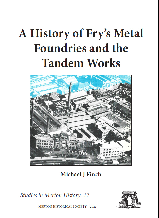 Studies in Merton History 12: by Michael J Finch
This account focuses primarily on the foundation of Fry’s, the companies that existed long before Fry’s that shaped Fry’s future, and the people who made it happen through belief, determination and hard work, not to mention the willingness to take chances. It is a fascinating story of success and a rise from nothing that justifies the effort to tell the story, because there is little information otherwise available. The fact that information is scant is the biggest surprise, given the enormous impact Fry’s Metals had on the print metal industry in those early days, the number of people they employed, not just at the Tandem Works, but also at the branch foundries and overseas, and the impact of the company on local communities.
Properties – download a relevant article from our Bulletins
December 21, 2022
Properties – find a relevant publication
December 21, 2022
Bulletin 224
November 30, 2022
Poor Relief in Morden 1750–1834
October 12, 2022
 Studies in Merton History 11: by Gladys Stockwell
A few years ago, Mrs Gladys Bayton offered to the Society her dissertation, undertaken while teacher training in the early 1960s, on the efficiency of the poor relief administration in Morden, using the documents then in the parish chest at St Lawrence Church, Morden.
Bulletin 223
October 3, 2022
Bulletin 222
October 3, 2022
Medieval Morden: Landscape and Landholding
March 9, 2022
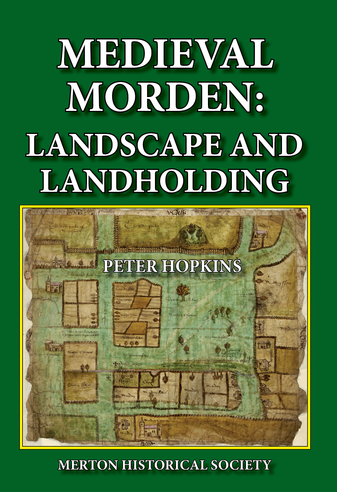
The second of three planned studies by Peter Hopkins into various aspects of medieval life as revealed through the surviving records, this volume seeks to reconstruct the changing topography of medieval Morden and investigates the various ways that property was held and transferred over the centuries..